
Encyclopaedia AethiopicaVolume Iin Asmära
Asmära after 1952
Also written Asmera after 1952
- Written by
- Printed in
- Vol. I, pp. 378–379
- Published
- 2003
- Entry
- Subentry
- Reading
- 4 min

Image source and rights
p. 378
Siegbert Uhlig (ed.), Encyclopaedia Aethiopica, Volume I: A–C. Wiesbaden: Harrassowitz Verlag, 2003.
Facsimile of the entry’s opening in the original publication; a reference image, not a separate subject illustration.
Contents
A. was rated as second industrialized city within the Ethiopian empire, and maintained that status despite a loss of economic vitality after World War II. Particularly after Federation, businesses moved away or closed down, with a consequent rise in unemployment, though a few companies were newly opened (cp. Oriolo 1998:25). Economic problems, and, even more significantly, political pressure resulted in a general strike in 1958. However, a new middle class was also formed; during the British Military Administration, and especially after 1952, Eritreans moved into the centre and the villas in the European quarters. (In 1949 A.’s population numbered 127,579, including 17,183 Italians). A. quickly evolved into a centre of local political movements. A trade union and political parties were founded, most crucial for which was the meeting of important political figures at ↗Wäʿǝla Bet Gärgiš in 1946.
During the 1950s many Italian inhabitants of A. moved away, but by 1962 were still the main industrials of the city. (There were less than 10,000 Italians in a population of 150,000, including also around 14,000 half-castes, cp. Tekeste Negash 1997:140.) The upper commercial sector was mainly in the hands of Europeans, Yemenis and Eritrean Muslims. However, the newly established US military base ↗Qaññäw, together with the municipality (newly constituted in the period 1951-57) and the state administration, provided new sources of employment (“Eritreanization” of the local administration). A radical change came about when, in 1968, the Yemenis were driven out by the government, Christian highlanders replacing them. Textile manufacturing provided jobs for rural immigrants; by 1974 the population had grown to 200,000. However, the following rising political tension and war in Eritrea led to a second mass exodus of foreigners, with many youngsters joining the liberation fronts, and others migrating to Ethiopia and abroad, so that in 1977 only some 90,000 inhabitants were left. A. always stayed under control of the central government, in contrast to the countryside. After the Därg had regained control of Eritrea in the second half of the 1970s, A.’s population rose to 300,000, mainly due to rural migration from Eritrea and Tǝgray, accelerated by famine. When the garrison of A. capitulated in May 1991, the population numbered around 280,000 (excluding some 140,000 troops, who were immediately driven out).
View on the Cattedrale from Liberty Avenue, 1993, photo courtesy of Hans J. Knospe
Politically A. retained a high profile within Ethiopian politics, in reality as well as symbolically. Being the seat of Eritrea’s governors and the regional capital, several major institutions were established here, like ↗Asmära University in 1958 (which evolved out of university-style law courses at the Catholic Mission in 1945/46), and the 1969 exhibition of industry, agriculture and tourism, “Asmara Expo ‘69”. During the ↗Coup d’état of 1960, on his return from his visit to South America, Ḫaylä Śǝllase came first to A. on 16 December, where his son-in-law, the Imperial Representative Brigadier-General Abiyä Abbäbä had organized effective resistance against the Coup.
The main street, which – with its numerous Italian-style bars – was and still is the centre of urban life, changed its name repeatedly according to the political situation. First called Viale Mussolini (1925-41), and then Corso Italia, it was renamed Haile Selassie I Avenue in October 1952, after 1974 National Avenue (bǝḥerawi gwädana), and immediately after the arrival of the ↗Eritrean People’s Liberation Front in 1991 gwädäna ḥarnät (‘Liberty Avenue’, also translated as ‘Independence Avenue’). Before the 1990s the locals didn’t adopt the official naming, calling the street kam-bǝštato (< Ital. campo cintato, the area reserved for Italians in colonial times).
The growth of A. resulted into the administrative incorporation of surrounding rural areas like Qaḥawta, Godayf, Sämbäl, Bet Gärgiš and Ḥaz Ḥaz, the latter still today a village (founded on the site of a 19th cent. battle, lit. ‘catch catch’). In the 1990s the archaeologically important area of Sämbäl (↗ʿOna culture) was the site of the construction of huge housing complexes for the higher middle class, built by a Korean company (therefore locally called “Ǝnda Korǝya”).
Administratively, A. was divided into 9 zones and 36 qäbäles. The traditional quarters of Abba Šawl (at the foot of the hill Č̣ärhi), Gäza Bǝrhanu and Ǝdaga Ḥamus in the north-east are densely populated and dispose only of a poor infrastructure. ↗May Tämänay is a huge quarter of small block houses, mainly constructed in the 1950s and 60s, where, in the 1990s during new construction work, important archaeological remains were discovered. Other quarters are Tira Vollo, Paradiso, Märam Č̣ära, Ǝdaga ʿArbi, Amba Galyano, Gäza Käniša (with the oldest church of A., ↗Ǝnda Maryam), Gäǧärät ʿAbi, Gäǧärät Nǝʾǝštä, Gäza Banda, Bar Ǧǝmma, Ṣäṣärat, Sätanta Oto and Forrobiya, some of these being derived from original Italian names (e.g. ferrovia, ‘railway’, for the area around the former, now dismantled, railway station).
The great majority of the population (according to local estimates, numbering more than half a million today) consists of highlanders, including a strong minority of Muslims (cp. the A. mosque ↗Ǧāmiʿ al-Ḫulafāʾ ar-Rāšidīn). The “Asmarinos” speak an urbanized Tǝgrǝñña, which still shows considerable Italian influence. Today, A. is the capital of the State of Eritrea, but several ministries have been established outside A. due to the government’s decentralization policy. The National Museum in the former Italian Governor’s Palace (now the government’s guest house), with its rich collections of archaeological, ethnographic and other objects, has moved to the historical building of the Comboni School.
Sources and literature
Lit.: KilHDic 94–98; TEKESTE NEGASH, Eritrea and Ethiopia, the Federal Experience, New Brunswick, NJ 1997, 123 (Lit.), 130, 140, 144; LEONARDO ORIOLO (ed.), Stile Asmara. Asmara Style, Asmara 1998; YƎSḤAQ̱ YOSEF, ዛንታ፡ ከተማ፡ ኣስመራ (Zanta kätäma Asmära, ‘The History of the City of Asmära’), Addis Abäba 1993 A.D.; MEBRAHTU ABRAHAM, “History as Told Through Street Names”, Eritrea Profile, 18 August 2001, 2. MICHELE CHECCHI, “Asmara”, Rivista Coloniale, Ottobre 1910, 1–12, annex
Wolbert Smidt
In the Habesha History collections
Pictures already in the site’s collections whose records name Asmära after 1952. Each keeps its own caption, credit and rights; follow its title to the full record.
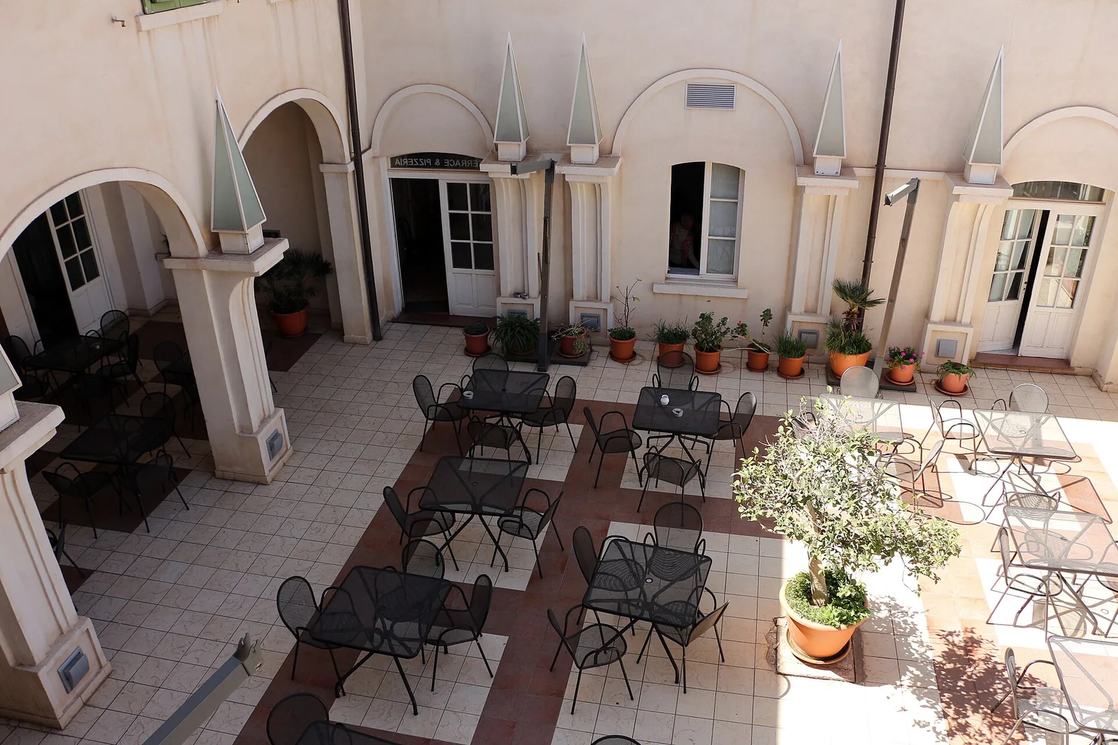
ExploreAlbergo Italia, AsmaraAsmara, albergo italia, cortile 01sailko · CC BY-SA 3.0 · via Wikimedia Commons Source, rights and match
Place named: Asmara
CC BY-SA 3.0, as stated on the file's Wikimedia Commons record (https://creativecommons.org/licenses/by-sa/3.0).
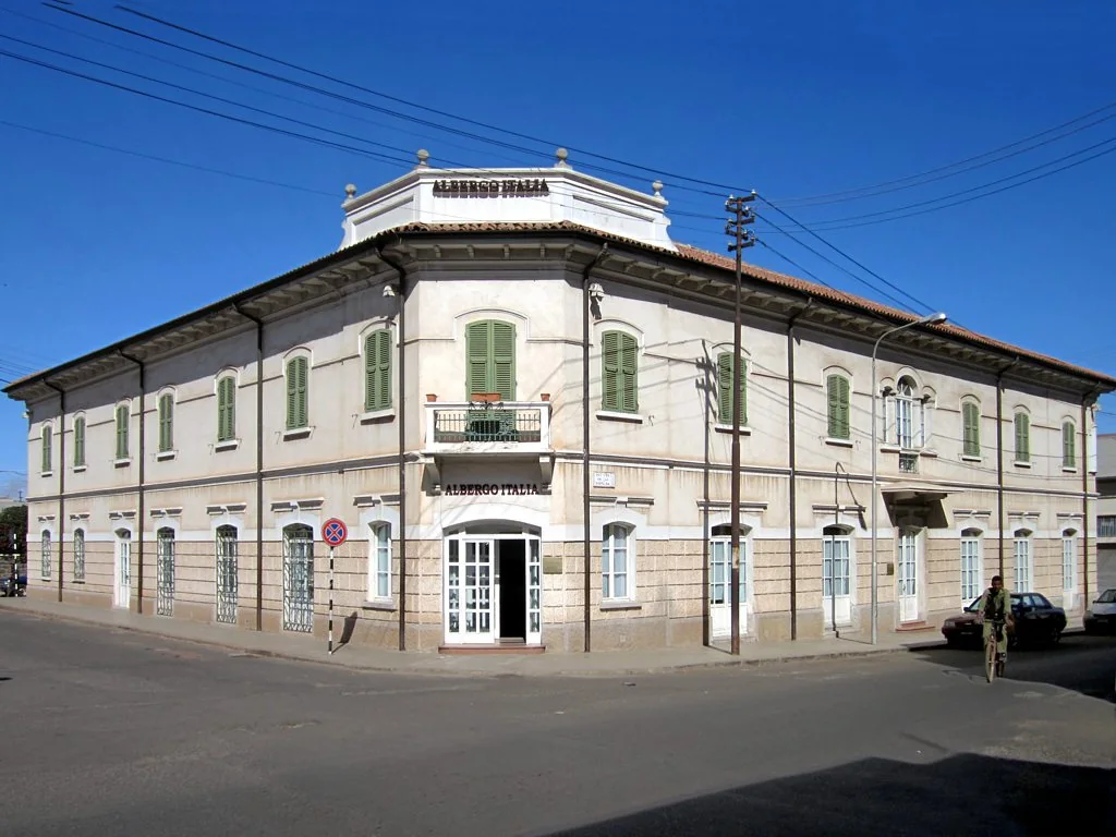
ExploreAlbergo Italia, AsmaraWhen it opened in 1899 the Albergo Italia was Asmara's premier hotel.David Stanley from Nanaimo, Canada · CC BY 2.0 · via Wikimedia Commons Source, rights and match
Place named: Asmara
CC BY 2.0, as stated on the file's Wikimedia Commons record (https://creativecommons.org/licenses/by/2.0).
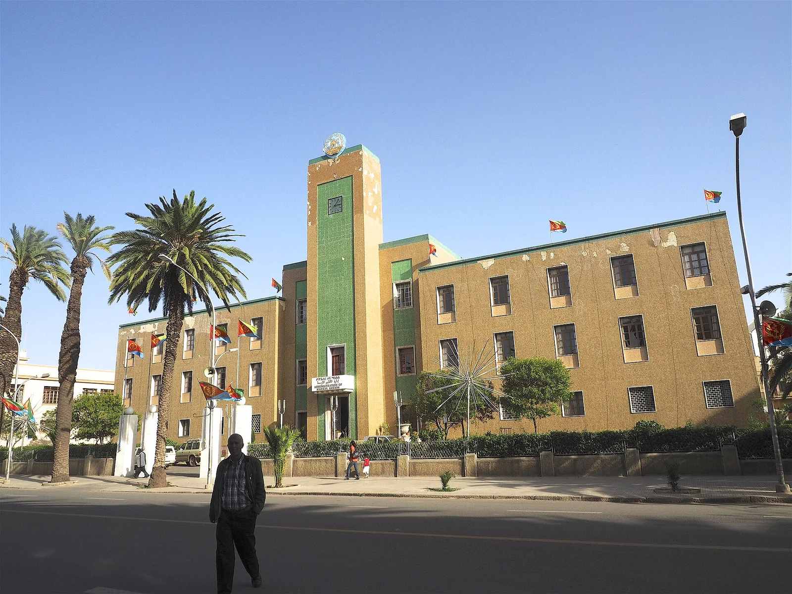
ExploreCentral Region Administration Building, AsmaraTypical of the Art Deco buildings constructed all over Asmara during its period as the Capital of Italy's African Empire.Clay Gilliland from Chandler, U.S.A. · CC BY-SA 2.0 · via Wikimedia Commons Source, rights and match
Place named: Asmara
CC BY-SA 2.0, as stated on the file's Wikimedia Commons record (https://creativecommons.org/licenses/by-sa/2.0).
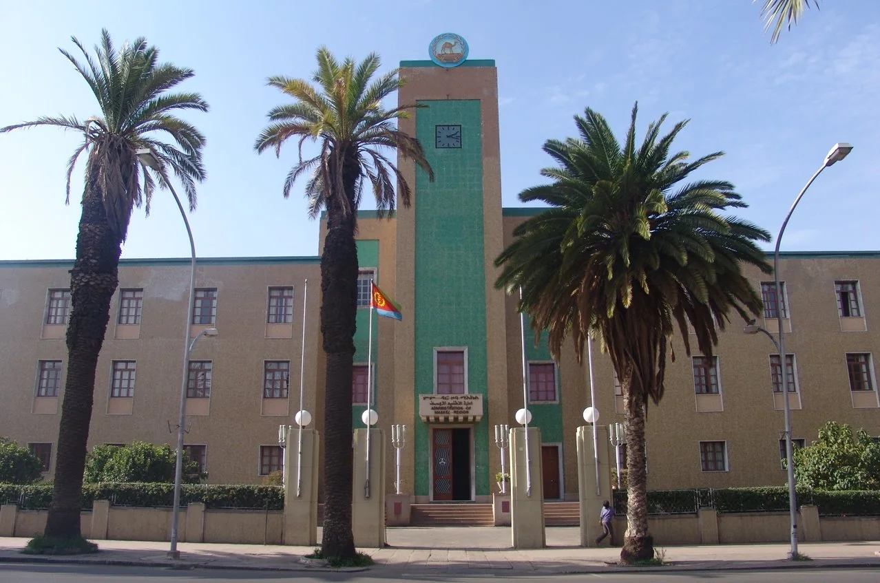
ExploreCentral Region Administration Building, AsmaraBuilding of a regional administration Asmara , Eritrea . Image taken by Charles Fred on flickr. The creator has granted GFDL licensing and permission for use in the wikimedia project.CharlesFred · CC BY-SA 2.0 · via Wikimedia Commons Source, rights and match
Place named: Asmara
CC BY-SA 2.0, as stated on the file's Wikimedia Commons record (https://creativecommons.org/licenses/by-sa/2.0).
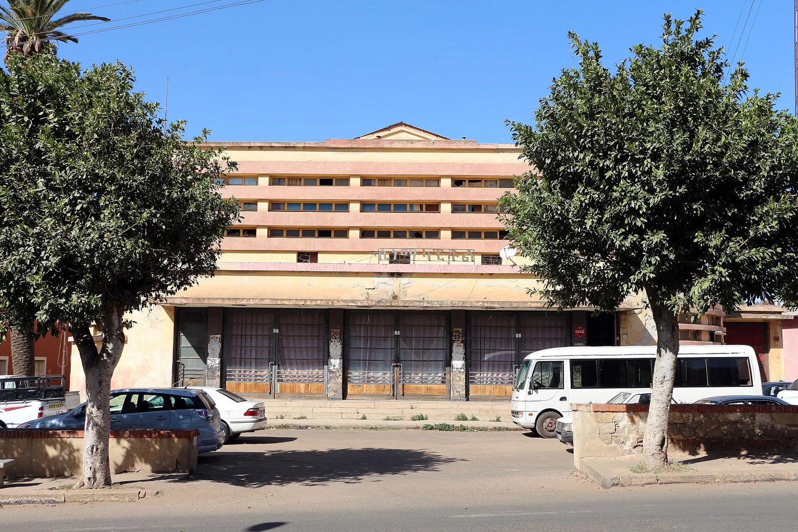
ExploreCinema Capitol, AsmaraAsmara, cinema capitol 01sailko · CC BY-SA 3.0 · via Wikimedia Commons Source, rights and match
Place named: Asmara
CC BY-SA 3.0, as stated on the file's Wikimedia Commons record (https://creativecommons.org/licenses/by-sa/3.0).
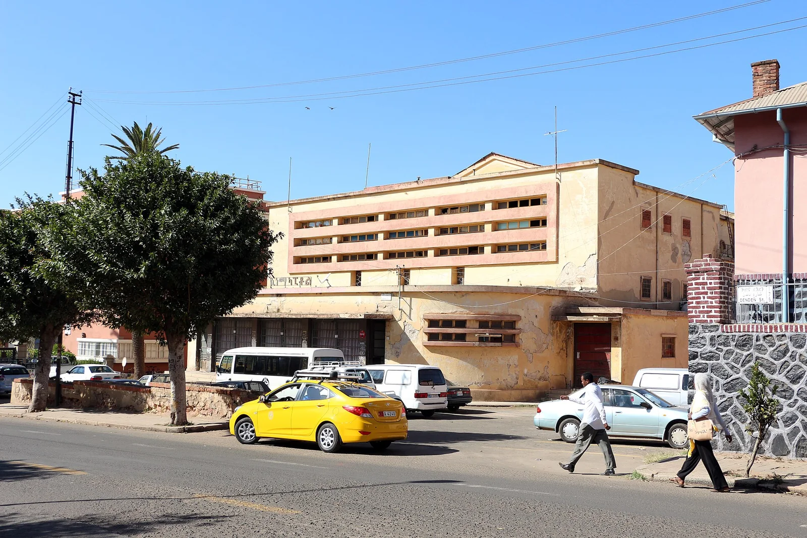
ExploreCinema Capitol, AsmaraAsmara, cinema capitol 02sailko · CC BY-SA 3.0 · via Wikimedia Commons Source, rights and match
Place named: Asmara
CC BY-SA 3.0, as stated on the file's Wikimedia Commons record (https://creativecommons.org/licenses/by-sa/3.0).
ExploreCinema Impero, AsmaraAsmara, cinema impero, 01sailko · CC BY-SA 3.0 · via Wikimedia Commons Source, rights and match
Place named: Asmara
CC BY-SA 3.0, as stated on the file's Wikimedia Commons record (https://creativecommons.org/licenses/by-sa/3.0).
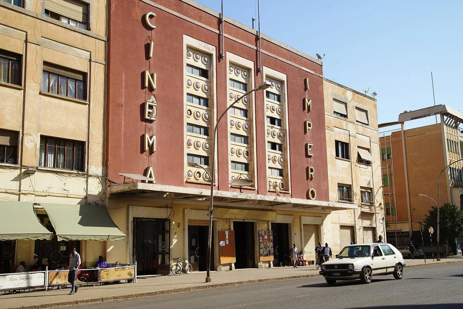
ExploreCinema Impero, AsmaraMheidegger · CC BY 4.0 · via Wikimedia Commons Source, rights and match
Place named: Asmara
CC BY 4.0, as stated on the file's Wikimedia Commons record (https://creativecommons.org/licenses/by/4.0).
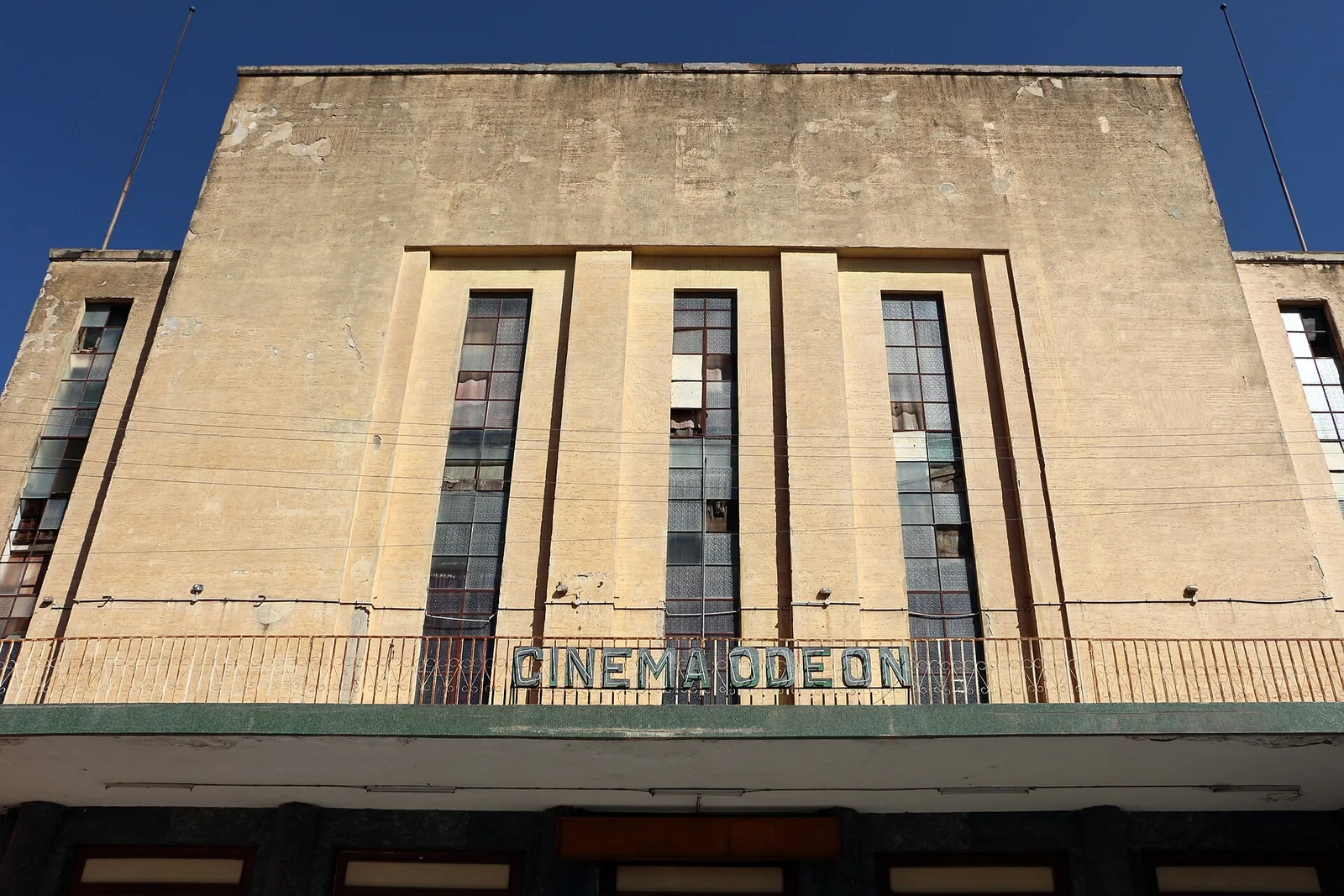
ExploreCinema Odeon, AsmaraAsmara, cinema odeon, 02sailko · CC BY-SA 3.0 · via Wikimedia Commons Source, rights and match
Place named: Asmara
CC BY-SA 3.0, as stated on the file's Wikimedia Commons record (https://creativecommons.org/licenses/by-sa/3.0).
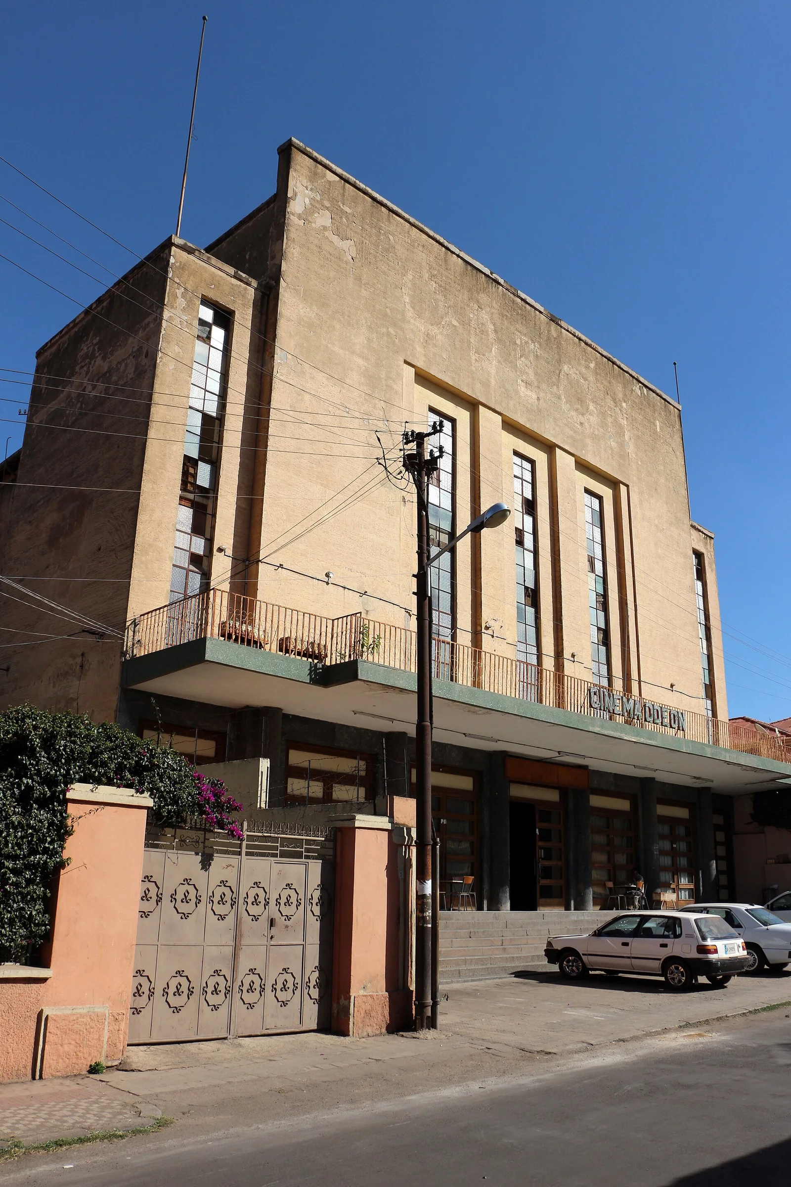
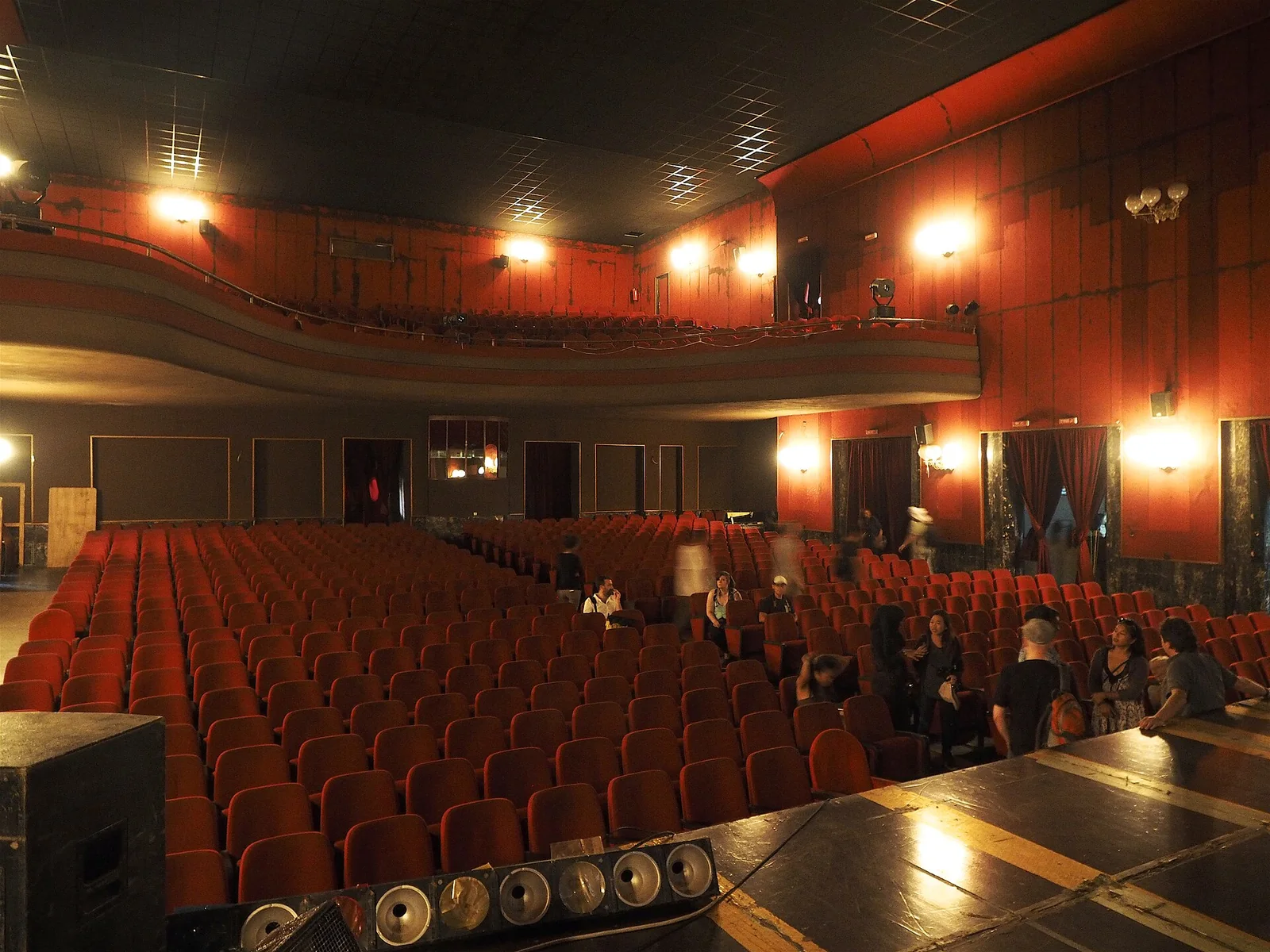
ExploreCinema Odeon, AsmaraAsmara, cinema odeon, 01sailko · CC BY-SA 3.0 · via Wikimedia Commons Source, rights and match
Place named: Asmara
CC BY-SA 3.0, as stated on the file's Wikimedia Commons record (https://creativecommons.org/licenses/by-sa/3.0).
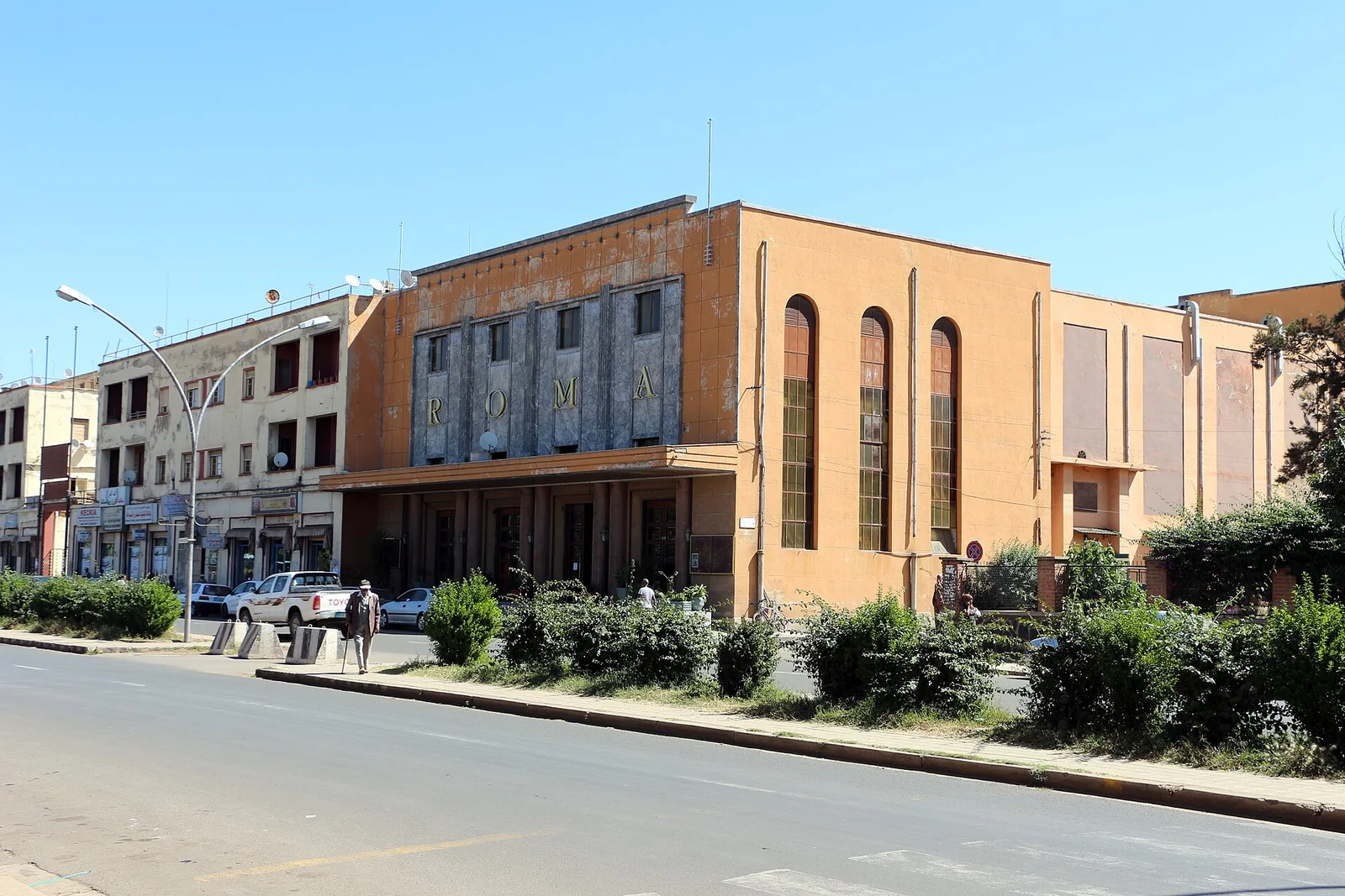
ExploreCinema Roma, AsmaraThe Cinema Roma was built in 1937 as the Cinema Excelsior. The facade is decorated with precious marble. It was re-named Cinema Roma during the Italian fascist occupation. In 2005 it was restored to its original 1940’s appearance.Clay Gilliland from Chandler, U.S.A. · CC BY-SA 2.0 · via Wikimedia Commons Source, rights and match
Place named: Asmara
CC BY-SA 2.0, as stated on the file's Wikimedia Commons record (https://creativecommons.org/licenses/by-sa/2.0).
ExploreCinema Roma, AsmaraAsmara, cinema roma, 01sailko · CC BY-SA 3.0 · via Wikimedia Commons Source, rights and match
Place named: Asmara
CC BY-SA 3.0, as stated on the file's Wikimedia Commons record (https://creativecommons.org/licenses/by-sa/3.0).
Cite this entry
Wolbert Smidt, “Asmära after 1952”, Encyclopaedia Aethiopica, Volume I: A–C (2003), pp. 378–379.
Wolbert Smidt. “Asmära after 1952.” In Encyclopaedia Aethiopica, vol. 1, A–C, edited by Siegbert Uhlig, 378–379. Wiesbaden: Harrassowitz Verlag, 2003. https://www.habeshahistory.com/encyclopedia/asmara-after-1952-p0408-a-y0342.
Wolbert Smidt. “Asmära after 1952.” Encyclopaedia Aethiopica, edited by Siegbert Uhlig, vol. 1, Harrassowitz Verlag, 2003, pp. 378–379. www.habeshahistory.com/encyclopedia/asmara-after-1952-p0408-a-y0342.
Wolbert Smidt. (2003). Asmära after 1952. In Siegbert Uhlig (Ed.), Encyclopaedia Aethiopica (Vol. 1, pp. 378–379). Harrassowitz Verlag. https://www.habeshahistory.com/encyclopedia/asmara-after-1952-p0408-a-y0342
- Editor
- Siegbert Uhlig
- Publisher
- Harrassowitz Verlag
- Columns
- 378a, 378b, 379a