
Landscapes and Landforms of Ethiopia — illustration 1, PDF page 18
Source record
- Source
- Habesha History book corpus — Landscapes and Landforms of Ethiopia
- Book
- Landscapes and Landforms of Ethiopia
- Source reference
- Landscapes and Landforms of Ethiopia; PDF page 18; embedded illustration 1, exact source rectangle 184.33, 59.53, 544.33, 311.29
- Page
- 18
- Publication year
- 2015
- Type
- Book illustration
Date of image not recorded.
Creator not recorded.
Source-book and PDF-page attribution only. No place, subject, creator or image date is inferred from nearby body text or the publication date.
Source-page captions
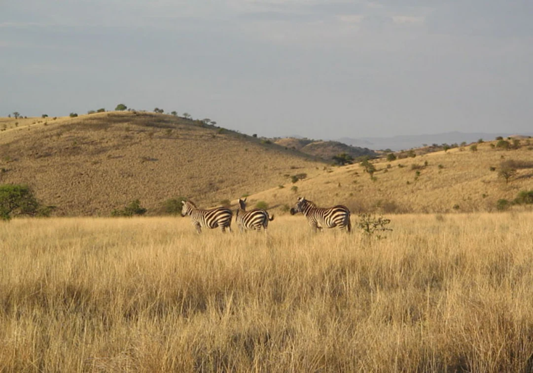
Fig. 1.9 Example of a bushed grassland in “Nech Sar” (white grass) Park near Arba Minch (5°57′24″N–37°39′31″E)
Fig. 1.10 Cereals cultivations on the Somali Plateau along the Shashemene-Kofele road. This flat area is underlain by trap basalts and stretches eastward from the Rift margin
Illustration from the identified source publication. Captions on the source page are preserved separately and are not asserted to belong to this individual crop. Publication year is not the image date.
Image rights
Original publication and credited image creators retain their rights. No open licence has been established for this corpus copy.
User-confirmed permission to use images in the local Habesha History corpus, 2026-09-28; this does not grant visitors a general reuse licence.
Request image removal