
Landscapes and Landforms of Ethiopia — illustration 1, PDF page 24
Source record
- Source
- Habesha History book corpus — Landscapes and Landforms of Ethiopia
- Book
- Landscapes and Landforms of Ethiopia
- Source reference
- Landscapes and Landforms of Ethiopia; PDF page 24; embedded illustration 1, exact source rectangle 184.33, 59.53, 544.33, 322.57
- Page
- 24
- Publication year
- 2015
- Type
- Book illustration
Date of image not recorded.
Creator not recorded.
Source-book and PDF-page attribution only. No place, subject, creator or image date is inferred from nearby body text or the publication date.
Source-page captions
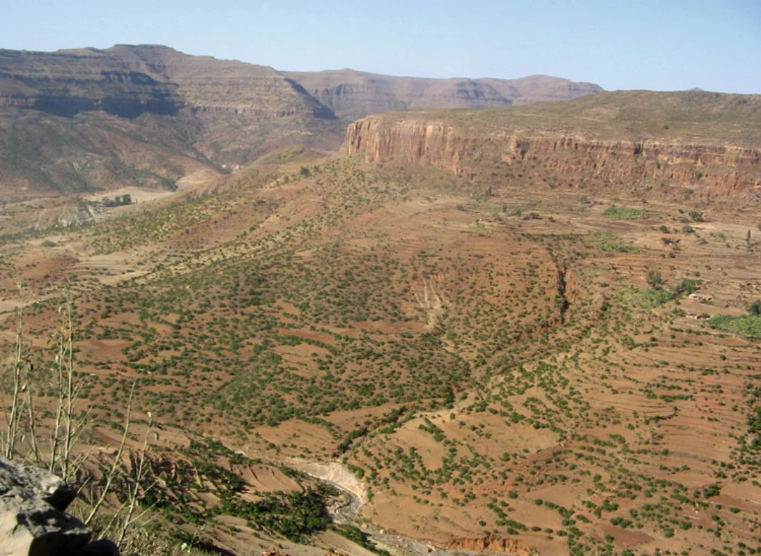
Fig. 1.22 The typical tabular structure of the northern highlands with a deep canyon incised by a tributary of the Mereb River along the Adigrat- Adwa road. The right-hand side of the valley is capped by the Paleozoic Enticho sandstones (Abbate, personal communication), whereas in the opposite side the sandstones are overlain by the Tertiary trap basalts
Fig. 1.23 The Amba Alaji peak (3,438 m a.s.l.) seen from the Korem-Mekele road. The pyramidal morphology of the mountain top is carved into Miocene rhyolitic ignimbrites
Illustration from the identified source publication. Captions on the source page are preserved separately and are not asserted to belong to this individual crop. Publication year is not the image date.
Image rights
Original publication and credited image creators retain their rights. No open licence has been established for this corpus copy.
User-confirmed permission to use images in the local Habesha History corpus, 2026-09-28; this does not grant visitors a general reuse licence.
Request image removal