
Landscapes and Landforms of Ethiopia — illustration 1, PDF page 147
Source record
- Source
- Habesha History book corpus — Landscapes and Landforms of Ethiopia
- Book
- Landscapes and Landforms of Ethiopia
- Source reference
- Landscapes and Landforms of Ethiopia; PDF page 147; embedded illustration 1, exact source rectangle 53.86, 59.53, 541.54, 261.01
- Page
- 147
- Publication year
- 2015
- Type
- Book illustration
Date of image not recorded.
Creator not recorded.
Source-book and PDF-page attribution only. No place, subject, creator or image date is inferred from nearby body text or the publication date.
Source-page captions
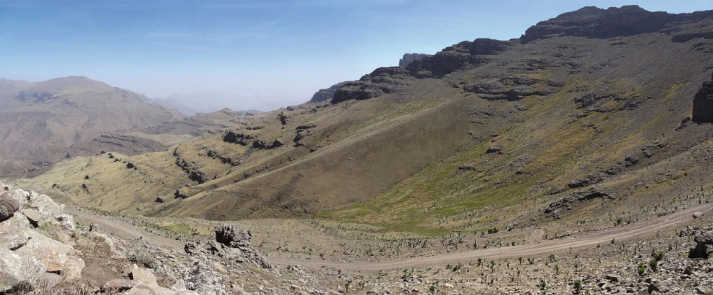
Fig. 6.3 Panorama of the largest (middle) moraine of the last cold period in the Simen Mountains, western escarpment below Ras Dejen (4,540 m asl), seen from an altitude of about 4,200 m asl. The main
Fig. 6.4 Topographic analysis of all mapped paleoglaciers and Late Pleistocene altitudinal belts in Simen, including the last cold period snowline as reconstructed by moraines and cirques using two methods. The correlation of snowline with slope aspect is evident, as is the lower limit of the periglacial belt being parallel to the snowline. Source Hurni (1986)
Illustration from the identified source publication. Captions on the source page are preserved separately and are not asserted to belong to this individual crop. Publication year is not the image date.
Image rights
Original publication and credited image creators retain their rights. No open licence has been established for this corpus copy.
User-confirmed permission to use images in the local Habesha History corpus, 2026-09-28; this does not grant visitors a general reuse licence.
Request image removal