
Landscapes and Landforms of Ethiopia — illustration 2, PDF page 217
Source record
- Source
- Habesha History book corpus — Landscapes and Landforms of Ethiopia
- Book
- Landscapes and Landforms of Ethiopia
- Source reference
- Landscapes and Landforms of Ethiopia; PDF page 217; embedded illustration 2, exact source rectangle 183.2, 444.18, 543.2, 714.18
- Page
- 217
- Publication year
- 2015
- Type
- Book illustration
Date of image not recorded.
Creator not recorded.
Source-book and PDF-page attribution only. No place, subject, creator or image date is inferred from nearby body text or the publication date.
Source-page captions
Fig. 12.2 Geology of the study area. Stratigraphic units: Ja Antalo Limestone (Callovian to Kimmeridgian). Neritic limestones and marls; Ks Amba Aradam Sandstones (Upper Jurassic to Lower Cretaceous). Fluvial/littoral variegated, quartzose sandstone; Tβ Oligocene to Miocene Ashenge Basalts. Olivine bsalts alternating with tuffs; Tσ Amba Aiba basalts (Oligocene to Miocene). Flood basalts with rare tuffs; Mα Amba Alaji Rhyolites (Miocene). Rhyolitic ignimbrites and tuffs, trachyrhyolites and flood basalts; Qtβ Miocene to Pleistocene fissural basaltic lavas, subordinately, ignimbrites and rhyolites; Qa Quaternary alluvial deposits, locally terraced. Symbols: F fault line (modified from Merla et al. 1979)
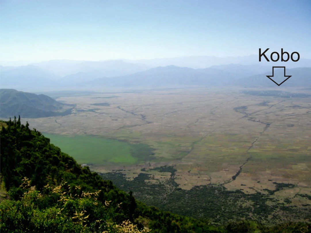
Fig. 12.3 The basin floor with the town of kobo on the left and the least elevated area (1,374 m a. s.l.) taken up by the seasonal marsh close to the eastern margin
Illustration from the identified source publication. Captions on the source page are preserved separately and are not asserted to belong to this individual crop. Publication year is not the image date.
Image rights
Original publication and credited image creators retain their rights. No open licence has been established for this corpus copy.
User-confirmed permission to use images in the local Habesha History corpus, 2026-09-28; this does not grant visitors a general reuse licence.
Request image removal