
Landscapes and Landforms of Ethiopia — illustrated page 265
Source record
- Source
- Habesha History book corpus — Landscapes and Landforms of Ethiopia
- Book
- Landscapes and Landforms of Ethiopia
- Source reference
- Landscapes and Landforms of Ethiopia; PDF page 265 (complete illustrated page)
- Page
- 265
- Publication year
- 2015
- Type
- Book illustration
Date of image not recorded.
Creator not recorded.
Source-book and PDF-page attribution only. No place, subject, creator or image date is inferred from nearby body text or the publication date.
Source-page captions
Fig. 15.13 The top left and right panels, respectively, show earthquake locations reported by the National Earthquake Information Center (NEIC) and focal mechanism reported by the Global Centoid Moment Tensor Catalog, for the September 2005 Dabbahu rifting episode. Normal fault earthquakes were primarily located along the Dabbahu segment. The lower panel is a cartoon sketch illustrating that
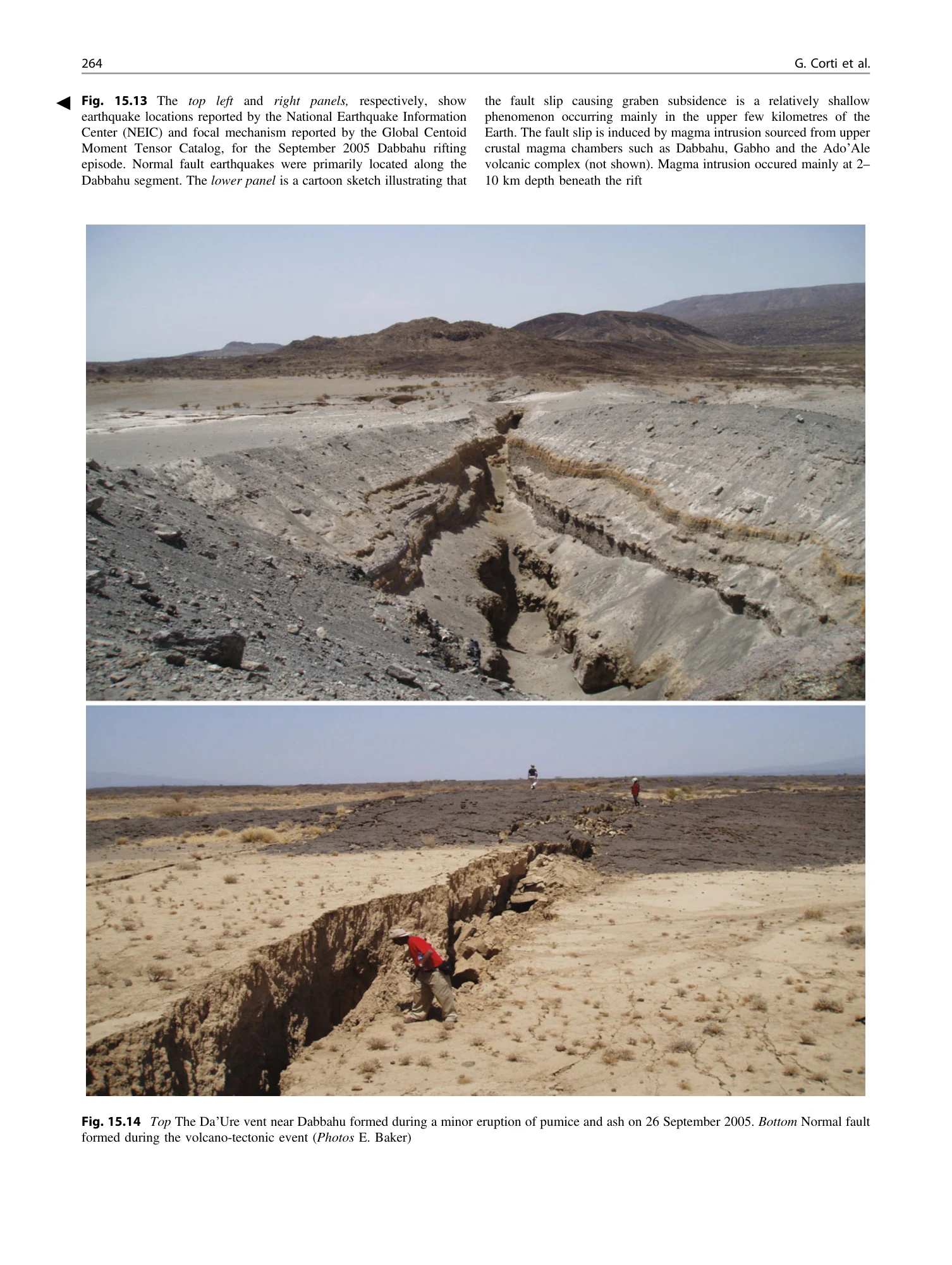
Fig. 15.14 Top The Da’Ure vent near Dabbahu formed during a minor eruption of pumice and ash on 26 September 2005. Bottom Normal fault formed during the volcano-tectonic event (Photos E. Baker)
Illustration from the identified source publication. Captions on the source page are preserved separately and are not asserted to belong to this individual crop. Publication year is not the image date.
Image rights
Original publication and credited image creators retain their rights. No open licence has been established for this corpus copy.
User-confirmed permission to use images in the local Habesha History corpus, 2026-09-28; this does not grant visitors a general reuse licence.
Request image removal