
Geo-trekking in Ethiopia's Tropical Mountains: The Dogu'a Tembien District — illustration 1, PDF page 152
Source record
- Source
- Habesha History book corpus — Geo-trekking in Ethiopia's Tropical Mountains: The Dogu'a Tembien District
- Book
- Geo-trekking in Ethiopia's Tropical Mountains: The Dogu'a Tembien District
- Source reference
- Geo-trekking in Ethiopia's Tropical Mountains: The Dogu'a Tembien District; PDF page 152; embedded illustration 1, exact source rectangle 82.09, 62.36, 337.7, 230.68
- Page
- 152
- Publication year
- 2019
- Type
- Book illustration
Date of image not recorded.
Creator not recorded.
Source-book and PDF-page attribution only. No place, subject, creator or image date is inferred from nearby body text or the publication date.
Source-page captions
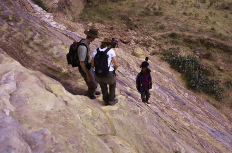
Photo 8.6 Footpath across Adigrat Sandstone, leading to the rock-hewn church of Mariam Korkor in the Gheralta Mountains. The lower section of the path mainly follows a dolerite dyke, but it then becomes relatively steep as it climbs across outcropping Adigrat Sandstone. Access remains easy, however, due to the steps that have been worn into the sandstone over the years by the bare feet of visitors. Photo Robert Bussert (2001)
Illustration from the identified source publication. Captions on the source page are preserved separately and are not asserted to belong to this individual crop. Publication year is not the image date.
Image rights
Original publication and credited image creators retain their rights. No open licence has been established for this corpus copy.
User-confirmed permission to use images in the local Habesha History corpus, 2026-09-28; this does not grant visitors a general reuse licence.
Request image removal