
Geo-trekking in Ethiopia's Tropical Mountains: The Dogu'a Tembien District — illustration 1, PDF page 403
Source record
- Source
- Habesha History book corpus — Geo-trekking in Ethiopia's Tropical Mountains: The Dogu'a Tembien District
- Book
- Geo-trekking in Ethiopia's Tropical Mountains: The Dogu'a Tembien District
- Source reference
- Geo-trekking in Ethiopia's Tropical Mountains: The Dogu'a Tembien District; PDF page 403; embedded illustration 1, exact source rectangle 82.15, 62.36, 337.67, 232.61
- Page
- 403
- Publication year
- 2019
- Type
- Book illustration
Date of image not recorded.
Creator not recorded.
Source-book and PDF-page attribution only. No place, subject, creator or image date is inferred from nearby body text or the publication date.
Source-page captions
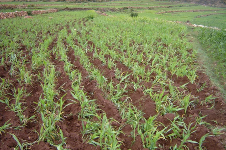
Photo 26.5 Miguemas ploughing as practiced on sorghum, some weeks after emergence in Argaqa. In one tillage operation, weeding, thinning and root pruning is done; the furrows also decrease runoff and enhance infiltration. After Nyssen et al. (2011)
Photo 26.6 The indigenous derdar technique applied on a farmer’s field with fenugreek near Densa (North Wollo). Book for scale. Tillage after sowing has created the typical bed-and-furrow topography and brought most of the seeds to the beds. Photo Jan Nyssen (August 2007)
Illustration from the identified source publication. Captions on the source page are preserved separately and are not asserted to belong to this individual crop. Publication year is not the image date.
Image rights
Original publication and credited image creators retain their rights. No open licence has been established for this corpus copy.
User-confirmed permission to use images in the local Habesha History corpus, 2026-09-28; this does not grant visitors a general reuse licence.
Request image removal